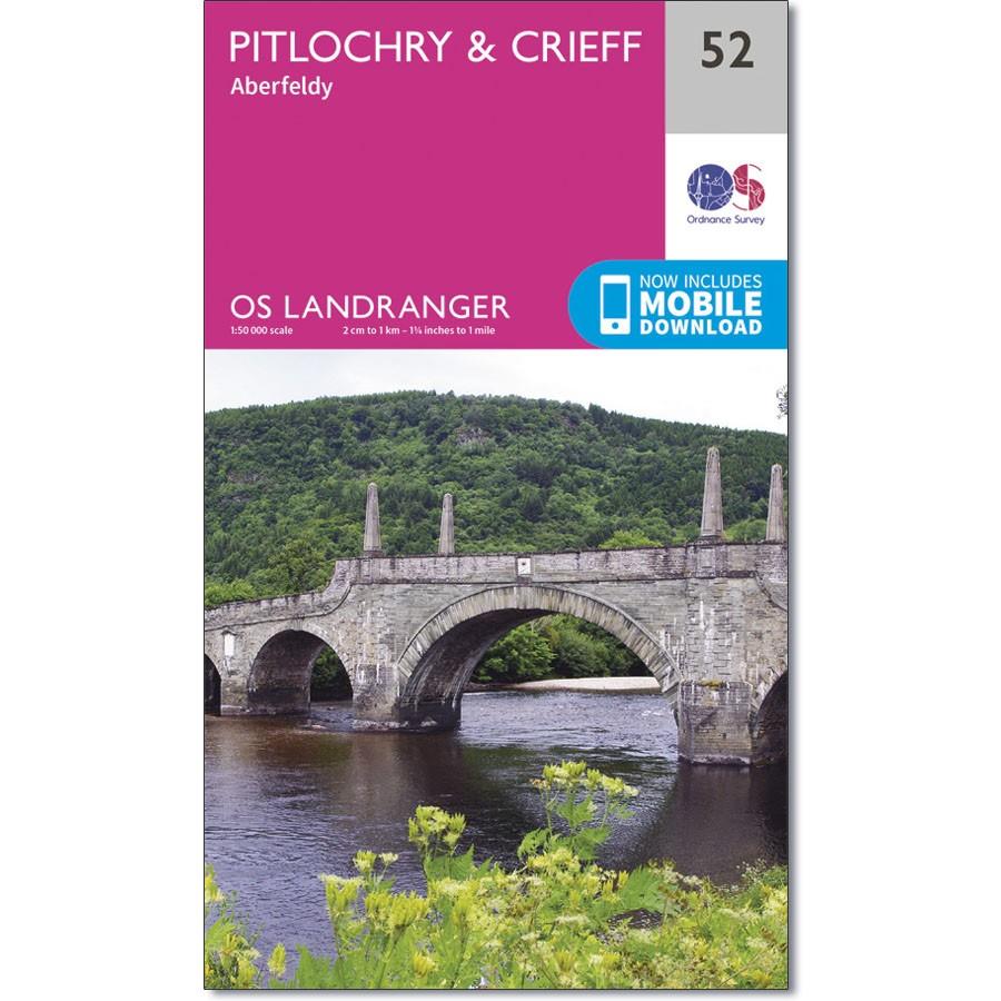
Ordnance Survay Landranger Map 52 Pitlochry & Crieff
Ordnance Survey Landranger Map 52 Pitlochry & Crieff covers the Perth and Kinross towns of Pitlochry, Crieff, Aberfeldy, Strathtay and Dunkeld.
Pitlochry became popular as a walking area in the 19th century and remains so today. Further afield Loch Tummel boasts some of the most scenic views in the Lowlands, while the Tay Forest Park has walking trails and activities for all the family.
With this map, you will receive a code for use on your iOS or Android smartphone or tablet.

