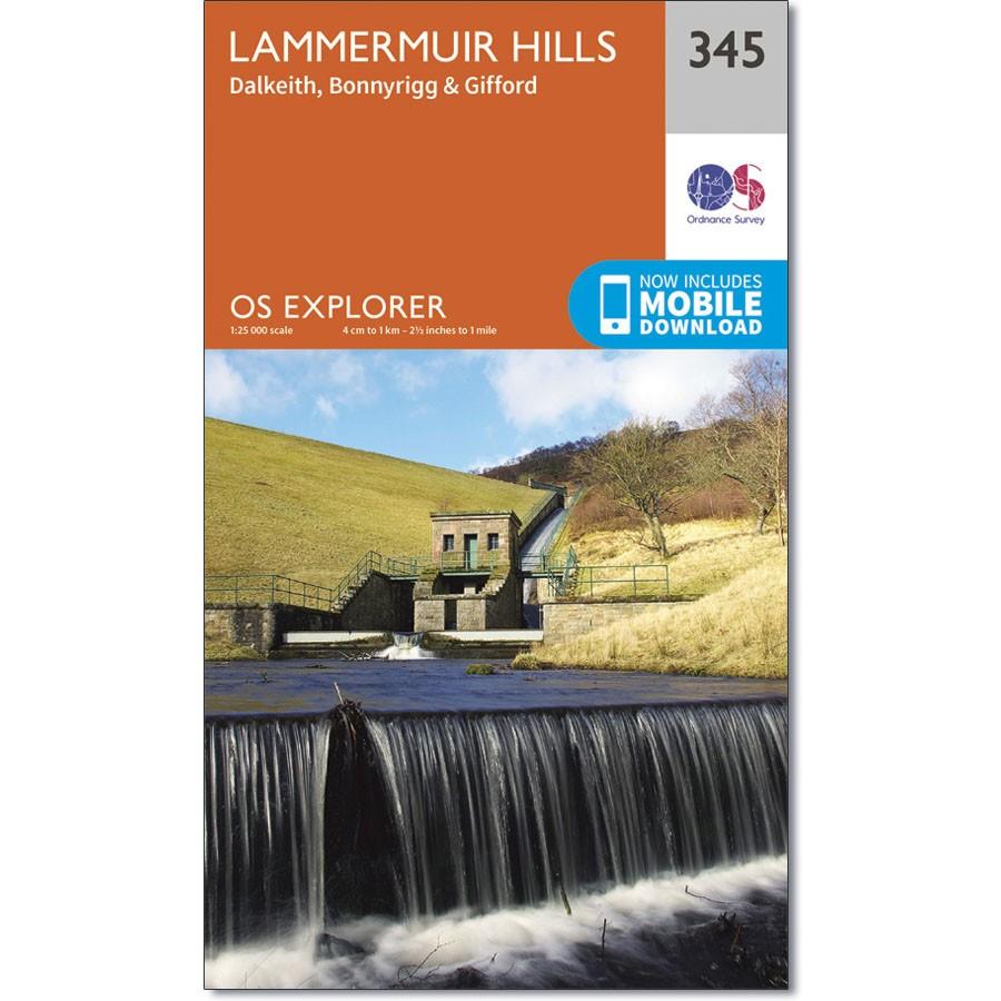
Ordnance Survey Explorer Map 345 Lammermuir Hills
Ordnance Survey Explorer Map 345 Lammermuir Hills
OS Explorer Map 345 shows Bonnyrigg and Dalkeith to the Lammermuir Hills.
This map includes the Pencaitland Railway Walk, part of the Southern Upland Way and part of the Penicuik to Musselburgh footpath and cycleway.
With this map you will receive a code for use on your iOS or Android smartphone or tablet.


