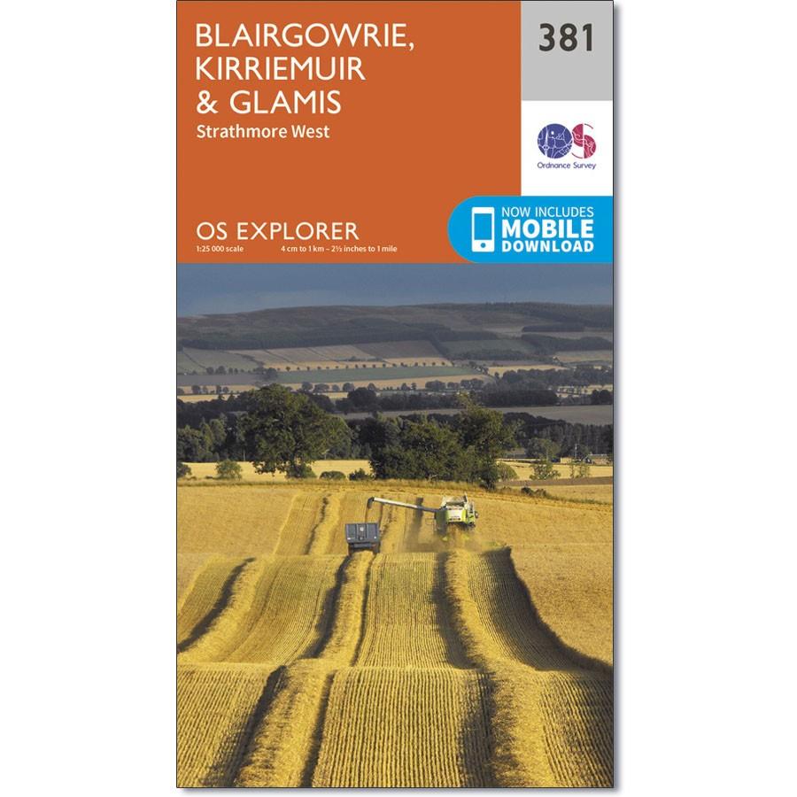
Ordnance Survey Explorer Map 381 Blairgowrie, Kirriemuir & Glamis
Ordnance Survey Explorer Map 381 Blairgowrie, Kirriemuir & Glamis
Strathmore West
OS Explorer Map 381 shows a wide range of landscapes. From the sheltered valley around Blairgowrie & Rattray (still one of the main soft fruit growing areas in Scotland) to the gentle hills surrounding it.
This map also shows part of the Cateran Trail.
The OS Explorer map for Blairgowrie, Kirriemuir & Glamis is available in both the standard paper version and weatherproof ‘Active’ version.

