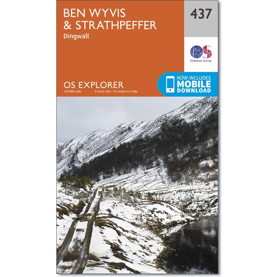
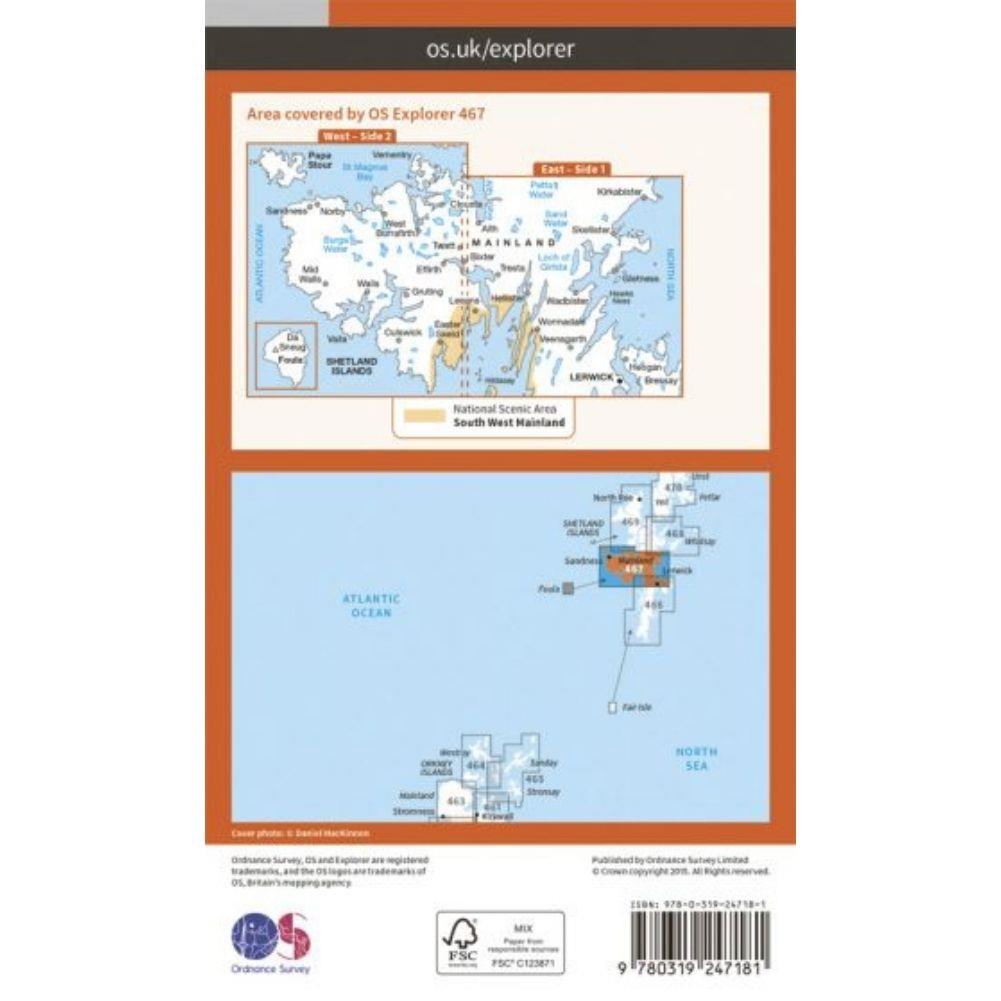
Ordnance Survey Explorer Map 437 Wyvis & Strathpeffer
Ordnance Survey Explorer Map 437 Wyvis & Strathpeffer
OS Explorer Map 437 shows from the town of Dingwall north through Easter Ross and includes a number or Lochs and peaks.
The Valleys tend to be heavily forested, although there are tracks and footpaths covering most of the region.
With this map you will receive a code for use on your iOS or Android smartphone or tablet.

