


Ordnance Survey Landranger 81 – Alnwick & Morpeth
Ordnance Survey Landranger 81 – Alnwick & Morpeth
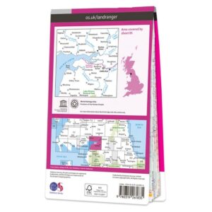
Map sheet number 81 in the OS Landranger map series covers an area of the Northumberland National park as far as Sharperton in the east and the Northumbrian coastline from just south of Blyth to Craster. Also included on the map are: Morpeth, Rothbury, Amble, Alnwick Castle, Druridge Bay, Fontburn Reservoir, Alnmouth, Netherwitton, Longhorsley, Warkworth Castle and Coquet Island. The southeastern area includes the towns of Bedlington, Ashington and Newbiggin-by-the-Sea.
Includes mobile download with this map you will receive a code for use on your iOS or Android smartphone or tablet.