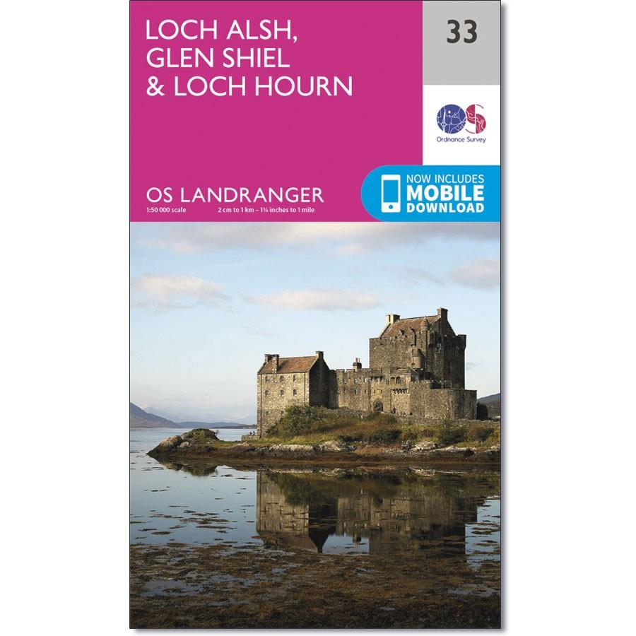
Ordnance Survey Landranger Map 33 Loch Alsh, Glen Shiel & Loch Hourn
Ordnance Survey Landranger Map 33 Loch Alsh, Glen Shiel & Loch Hourn
On the north-east coast of Scotland, OS Landranger map 33 shows the areas around Glen Shiel and Glenkingie, as well as Loch Duich, Loch Hourn, Loch Alsh, Loch Nevis and Loch Quoich.
If you are looking for somewhere to get away from it all, this could well be the place. Kinloch Hourn is the main notable village inland, while there are other small villages like Inverie, Inverguseran and Dornie on the coast – most of the area is accessible by boat or on foot only once you leave the A87.
This map also shows the tip of the Isle of Skye as well as Kyle of Lochalsh – the main crossing to the island.
With this map you will receive a code for use on your iOS or Android smartphone or tablet.

