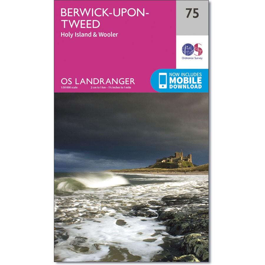
Ordnance Survey Landranger Map 75 Map of Berwick-upon-Tweed
Ordnance Survey Landranger Map 75 Map of Berwick-upon-Tweed
Located close to the Scottish border, Berwick-upon-Tweed is the northern-most town in England and appears in map sheet number 75 in the OS Landranger map.
There is a magnitude of activities and attractions to discover in the local area. The vast expanse of surrounding Northumberland countryside features rolling hills, beaches, historical landmarks and interesting museums.
Holy Island and the Farne Islands are situated off the coastline in the North Sea and the town of Wooler sits inland close in proximity to the Northumberland National Park.
With this map you will receive a code for use on your iOS or Android smartphone or tablet.

