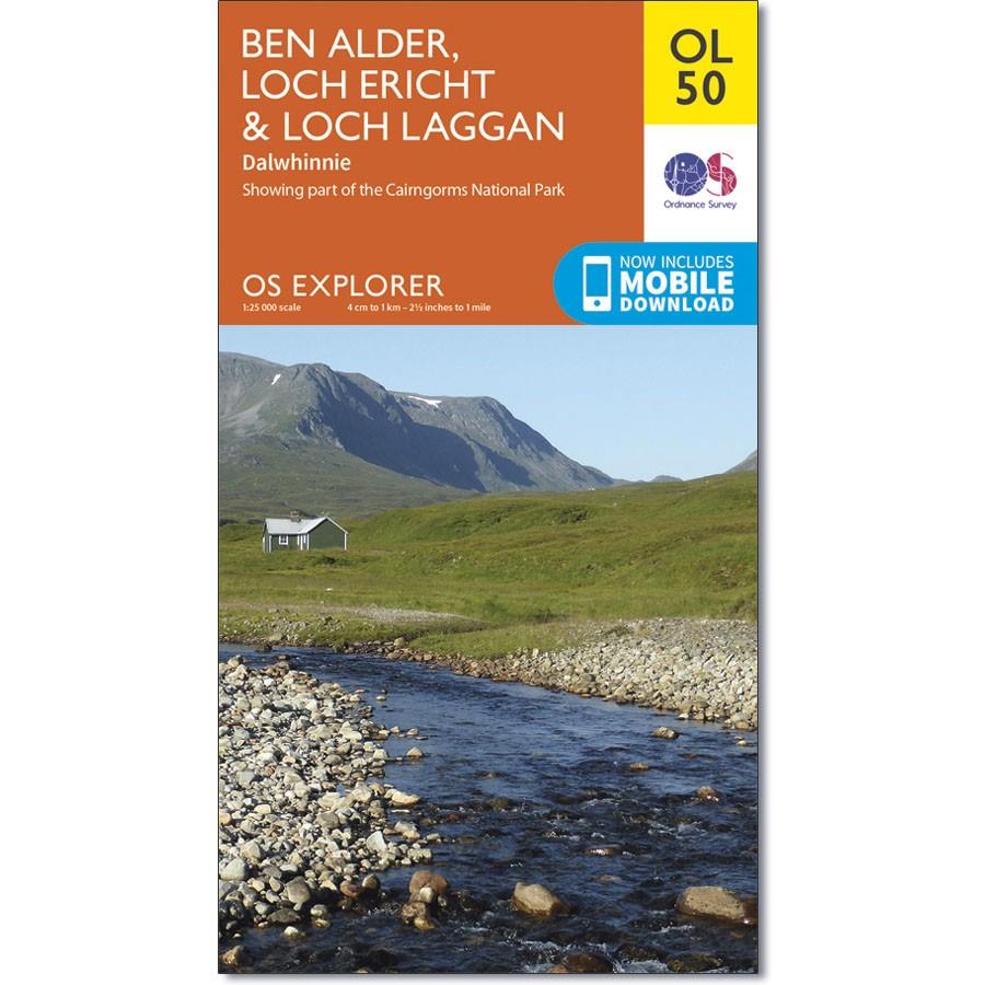
Ordnance Survey Map OL 50 Ben Alder, Loch Ericht & Loch Laggan
Ordnance Survey Map OL 50 Ben Alder, Loch Ericht & Loch Laggan
OS Explorer map OL 50 shows Loch Ericht, Loch Laggan and 16 of the surrounding Munros, as well as part of the Cairngorms National Park. This map replaces the previous OS Explorer map 393 for this area.
With this map you will receive a code for use on your iOS or Android smartphone or tablet.

